

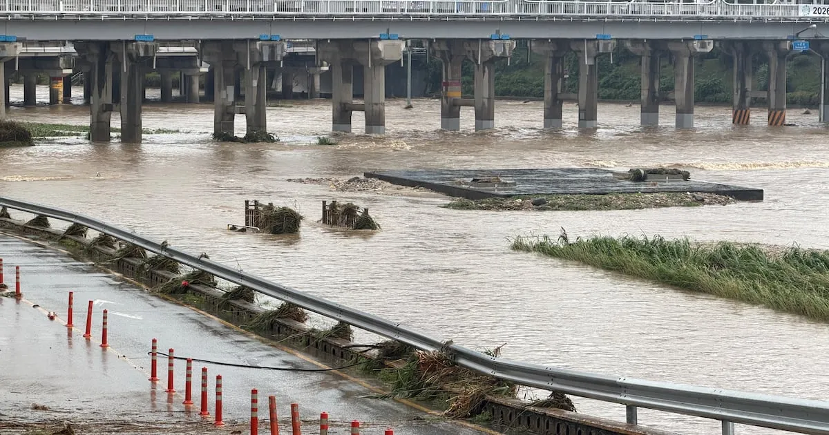
Following the dissipation of Typhoon Bavi, a lingering low-pressure system is expected to bring heavy rainfall and strong winds to the Korean Peninsula, particularly the central and northern regions, starting tonight. The Korea Meteorological Administration (KMA) has issued advisories, warning of intense downpours and gusty conditions that could disrupt daily life and pose risks.
Intense Rainfall Expected Across Central Regions
The remnants of Typhoon Bavi, now a tropical low-pressure system, are moving towards the Korean Peninsula, bringing with them a band of rain clouds. The KMA forecasts that this system will significantly impact the central and northern parts of South Korea on August 14th and 15th. Heavy rain advisories, defined as accumulating more than 60mm of rain in three hours, have already been issued for parts of Gyeonggi Province and Incheon.
The tropical low is anticipated to move across North Korea, meaning the border areas of Gyeonggi and Gangwon Provinces are likely to experience the most severe weather. Residents in these areas can expect rainfall rates of 30 to 50mm per hour overnight. This intensity is considered “very heavy rain,” a level where visibility can be severely reduced even with wipers on their highest setting, making driving hazardous.
Other parts of the country, including Seoul and the surrounding metropolitan area, as well as the Chungcheong and Jeonbuk regions, are also predicted to see heavy rain overnight, with hourly rates of 20 to 30mm. This persistent rainfall could lead to localized flooding and other weather-related disruptions.
Gusty Winds Accompanying the Downpour
In addition to the intense rainfall, strong winds are also expected to accompany the weather system. Wind speeds could reach up to 20 meters per second, comparable to typhoon-force gusts. The KMA noted that a typhoon is characterized by instantaneous wind speeds exceeding 17 meters per second, indicating the severity of the expected winds.
Projected Rainfall Totals and Weather Outlook
The KMA has provided estimated rainfall totals for August 14th and 15th:
- Seoul Metropolitan Area: 30 to 120mm
- Gangwon Province: 30 to 100mm
- Chungcheong and Jeonbuk Provinces: 30 to 80mm
- Jeonnam and Gwangju: 20 to 60mm
- Yeongnam and Jeju Island: 5 to 40mm
Most of the rainfall is expected to subside by the morning of August 15th. However, the high humidity and strong sunshine following the rain are predicted to bring a significant increase in perceived temperatures, leading to muggy and hot conditions.
Return of the Monsoon and Heatwave
In Pohang, Gyeongbuk Province, which has previously experienced extreme heat warnings, the apparent temperature could reach as high as 38 degrees Celsius on August 15th. Seoul is also expected to feel temperatures around 32 degrees Celsius. This combination of high humidity and heat could exacerbate discomfort for residents.
The weather pattern is set to shift again starting August 16th. A stationary front (or monsoon front) is expected to influence the southern regions, bringing monsoon rains back. This rainfall is forecast to expand northward to the Chungcheong region by August 17th. By the weekend, August 19th, widespread rain is anticipated across the entire country.
Preparedness and Caution Advised
Authorities are urging residents, especially those in areas prone to heavy rainfall and strong winds, to remain vigilant. Measures should be taken to prevent damage from potential flooding, landslides, and wind-related incidents. Drivers are advised to exercise extreme caution due to reduced visibility during downpours. The public is also reminded to stay informed about weather updates and advisories issued by the KMA.
The prolonged period of unsettled weather, transitioning from typhoon aftermath to heavy rains and then back to monsoon conditions, highlights the dynamic and often unpredictable nature of the summer weather in Korea. Continued attention to weather forecasts is crucial for public safety and preparedness.
