

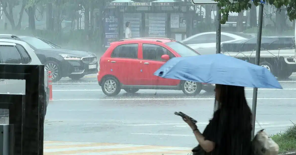
Despite scattered showers expected across the nation, oppressive heat is set to continue, with daytime temperatures reaching up to 36 degrees Celsius (96.8 degrees Fahrenheit). The forecast for Tuesday indicates that while rain may bring temporary cooling to some areas, the underlying heat and humidity will persist, making for uncomfortable conditions.
National Weather Outlook: Showers and Heat Intertwined
Beginning in the morning, areas including the Seoul metropolitan region, Gangwon’s inland and mountainous areas, the eastern coast of Gangwon Province, and northern Chungbuk are anticipated to experience showers. These downpours may be accompanied by thunder and lightning, and in some instances, strong winds. The predicted rainfall amounts vary by region:
- Northern Gyeonggi Province: 5 to 60 mm
- Northern Gangwon Province (inland and mountainous areas): 5 to 60 mm
- Seoul, Incheon, and surrounding Gyeonggi Province: 5 to 40 mm
- Northern Chungbuk Province: 5 to 30 mm
- Eastern coast of Gangwon Province: 5 to 20 mm
In the pre-dawn hours, some parts of northern Gyeonggi and the central and northern inland/mountainous regions of Gangwon might even see less than 0.1 mm of precipitation, essentially just a light drizzle. While these showers might cause a brief dip in temperature in the immediate vicinity of the rainfall, the high humidity levels are expected to cause temperatures to rebound quickly, re-establishing the heat.
Heatwave Persistence and High Humidity
The core of the weather concern remains the persistent heatwave. Even with the intermittent rain, the overall feeling will be one of continued warmth and high humidity. The meteorological administration has indicated that the highest perceived temperatures will largely remain within the 33-degree Celsius (91.4 F) range for most of the country. However, certain areas are expected to experience even more intense heat.
Specific regions bracing for the most significant heat include parts of the Seoul metropolitan area, the eastern coast of Gangwon Province, the southern coastal regions (Nam-bu district), and the Chungnam coastal areas. In these locations, the perceived temperature could climb as high as 35 degrees Celsius (95 F).
Temperature Ranges Forecasted
The morning low temperatures are expected to range between 21 and 26 degrees Celsius (70-79 F). As the day progresses, the high temperatures will reach their peak, with the national average for the highest daytime temperature projected to be between 31 and 36 degrees Celsius (88-97 F). This significant diurnal temperature range highlights the intensity of the daytime heat, even with cooler mornings.
Understanding the Impact of Humidity
The combination of high temperatures and elevated humidity levels creates a significant heat index, often referred to as “feels like” temperature. This is because the moisture in the air hinders the body’s natural cooling mechanism, which is evaporation. When sweat cannot evaporate efficiently, the body retains heat, leading to a higher perceived temperature and an increased risk of heat-related illnesses.
Health officials are urging residents to take precautions, especially during the peak heat hours. Staying hydrated, seeking cool environments, and limiting strenuous outdoor activities are crucial steps to mitigate the risks associated with this prolonged period of hot and humid weather. The scattered nature of the showers means that relief will be localized and temporary, underscoring the need for continued vigilance against the heatwave.
Regional Variations and Specific Concerns
While the general forecast points to widespread heat, there are nuances in how different regions will experience the weather. The eastern coastal areas of Gangwon, for instance, might receive less rainfall compared to the inland mountainous regions, potentially leading to a more sustained period of high temperatures without even the brief respite of showers. Similarly, the southern regions, known for their humidity, are likely to feel the heat more intensely due to the combined effect of high temperatures and moisture.
The meteorological agency is closely monitoring the atmospheric conditions that are fueling both the showers and the heat. The pattern suggests a complex interplay of weather systems, where warm, moist air is being drawn into the region, leading to both convective rainfall and elevated temperatures. The duration of this pattern remains a key factor in predicting when the heatwave might finally break.
Looking Ahead: Potential for Continued Heat
As the week progresses, the forecast suggests that this pattern of scattered showers and persistent heat is likely to continue. While the exact timing and location of the showers may shift, the underlying high-pressure system responsible for the heat shows little sign of weakening in the immediate future. This means that the public should prepare for continued hot and humid conditions, with daily high temperatures remaining significantly above average for this time of year.
The public is advised to stay informed about the latest weather updates and to take all necessary precautions to protect themselves from the heat. This includes staying hydrated, wearing light and breathable clothing, and avoiding prolonged exposure to direct sunlight, particularly during the hottest parts of the day. The combination of heat and humidity poses a significant health risk, and preparedness is key to navigating this challenging weather period safely.
