

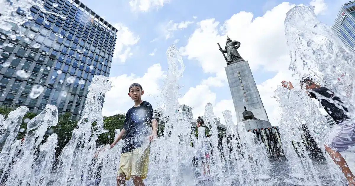
South Korea is bracing for a day of scattered showers, thunderstorms, and continued high temperatures on Monday, July 24th. The national weather agency forecasts that various regions will experience brief but intense downpours accompanied by thunder and lightning, while heat advisories remain in effect for many areas.
Nationwide Rainfall and Thunderstorms
The weather forecast indicates that showers are likely to occur across the country from the afternoon into the evening. Specific areas expected to see rain include the southern parts of Chungnam Province, southern North Chungcheong Province, and Jeju Island in the afternoon. Later in the afternoon and into the evening, precipitation is anticipated in the northern inland areas of Gyeonggi Province, central and northern inland areas of Gangwon Province, inland North Jeolla Province, the Jeonnam region, southern inland areas of Daegu and North Gyeonggi Province, and southwestern inland areas of South Gyeonggi Province.
The anticipated rainfall amounts vary by region. Gyeonggi’s northern inland areas, central and northern inland Gangwon, and Jeju Island can expect between 5 to 20 millimeters of rain. Southern inland Chungnam and southern North Chungcheong are forecast to receive 5 to 40 millimeters. Gwangju, Jeonnam, inland North Jeolla, southern inland Daegu and North Gyeonggi, and southwestern inland South Gyeonggi may see the heaviest rainfall, with amounts ranging from 5 to 50 millimeters.
Residents in areas experiencing these showers should be prepared for the possibility of sudden downpours, hail, and thunderstorms. These localized, intense weather events can lead to temporary disruptions.
Persistent Heatwave Conditions
Despite the incoming rain in some areas, the overall temperature trend remains significantly above average. Daily high temperatures are expected to be higher than the seasonal norm, which typically ranges from 19-23 degrees Celsius for lows and 27-31 degrees Celsius for highs. The feel-like temperature is predicted to climb to around 33 degrees Celsius in most parts of the country. In some southern regions, including southern Gyeonggi and the southern coastal areas, the feel-like temperature could reach as high as 35 degrees Celsius, making for a very muggy and uncomfortable day.
Overnight temperatures will also remain elevated, with some areas likely to experience tropical nights, where the minimum temperature does not fall below 25 degrees Celsius. Morning low temperatures are expected to range from 22 to 26 degrees Celsius, while afternoon highs will fluctuate between 31 and 36 degrees Celsius across the nation.
Regional Temperature Breakdown:
- Morning Lows: 22°C to 26°C
- Afternoon Highs: 31°C to 36°C
- Feel-like Temperatures: Generally around 33°C, potentially reaching 35°C+ in southern regions.
Sea Conditions and Air Quality
Waves along the coast are expected to be relatively calm. In the East Sea and West Sea, wave heights are predicted to be between 0.5 to 1.0 meters. Along the South Sea, waves will be slightly higher, ranging from 0.5 to 1.5 meters.
Regarding air quality, fine dust levels are forecast to be generally good to moderate across all regions. While most areas are expected to have ‘good’ air quality, Busan, Ulsan, and the South Gyeonggi Province may experience ‘moderate’ levels.
Looking Ahead
The combination of scattered showers and persistent heat underscores the volatile weather patterns currently affecting South Korea. Citizens are advised to stay informed about the latest weather updates, particularly in regions prone to heavy rainfall and thunderstorms. Those in areas experiencing high temperatures should take precautions to avoid heat-related illnesses, such as staying hydrated and limiting outdoor activities during the hottest parts of the day.
