

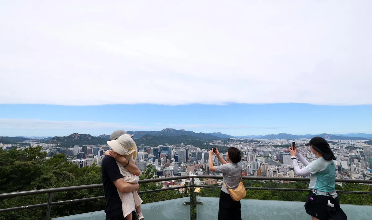
The intense heatwave that gripped South Korea, with temperatures soaring above 40 degrees Celsius (104 degrees Fahrenheit) in some areas, has finally begun to recede. In Seoul, the overnight low temperature dropped to 24.5 degrees Celsius (76.1 degrees Fahrenheit) on the morning of August 9th, marking the end of an 18-day streak of tropical nights, defined as overnight lows remaining at or above 25 degrees Celsius (77 degrees Fahrenheit). This respite offers a much-needed break from the oppressive heat that had blanketed the nation.
Heatwave Eases in Some Regions, Continues Elsewhere
While Seoul and other cities like Wonju and Cheongju saw their prolonged heatwave periods conclude after eight days, the sweltering conditions persist in other parts of the country. Jeju Island is experiencing its 33rd consecutive day of tropical nights, followed by Yeosu at 29 days, and Busan at 21 days. The weakening of the North Pacific and Tibetan high-pressure systems, which had trapped heat over the Korean Peninsula, is credited with the slight reprieve. These systems, which previously created a dome of heat, have shown signs of weakening, allowing for the influx of cooler air from the north and east. Additionally, cloud cover, particularly along the eastern coast, has reduced direct sunlight, contributing to the moderation of temperatures.
Meteorological Factors Behind the Shift
The extreme heat, which saw temperatures exceeding 40 degrees Celsius, is not expected to return this year, according to meteorological forecasts. However, the current week will still feature high temperatures across most of the country, with daytime highs likely to reach around 35 degrees Celsius (95 degrees Fahrenheit). Even in areas experiencing rain or thunderstorms, temperatures may temporarily drop, but humidity levels are expected to remain high, leading to a renewed increase in perceived heat once the precipitation ceases. The heatwave advisories are anticipated to remain in effect for the foreseeable future.
For August 10th, the morning low temperatures are predicted to range between 21 to 26 degrees Celsius (70 to 79 degrees Fahrenheit), with daytime highs reaching 27 to 34 degrees Celsius (81 to 93 degrees Fahrenheit). On August 11th, morning lows are forecast to be between 19 to 25 degrees Celsius (66 to 77 degrees Fahrenheit), and daytime highs between 27 to 35 degrees Celsius (81 to 95 degrees Fahrenheit). Throughout the rest of the week, including the weekend, daytime highs are expected to hover between 29 to 35 degrees Celsius (84 to 95 degrees Fahrenheit), surpassing the annual average of 28 to 32 degrees Celsius (82 to 90 degrees Fahrenheit).
A weather official explained that while the extreme 40-degree heat has passed, the lingering influence of the hot and humid North Pacific high-pressure system will continue to fuel heatwaves and tropical nights. The official also noted that typhoons ‘Dugong’ (Typhoon No. 13) and ‘Kammuri’ (Typhoon No. 15) are not expected to make landfall in the Korean Peninsula, thus having minimal impact on alleviating the heatwave. Typhoon ‘Kujira’ (Typhoon No. 14), which formed off the northern Philippines, has already weakened.
Rainfall Expected in Eastern and Southern Regions
Rainfall is anticipated in several regions. By the morning of August 10th, the eastern coastal and mountainous areas of Gangwon Province, as well as the eastern coastal and northern mountainous regions of Gyeongbuk Province, are expected to receive 20 to 60 millimeters (0.79 to 2.36 inches) of rain, with some areas possibly exceeding 80 millimeters (3.15 inches). Busan and Ulsan may see 20 to 60 millimeters (0.79 to 2.36 inches) of rain, while Jeju’s mountainous and central inland areas could receive 10 to 50 millimeters (0.39 to 1.97 inches).
Rain is forecast to continue through the weekend, primarily in the Yeongdong region of Gangwon Province, the eastern coast of Gyeongsang Province, and Jeju Island. This rainfall is expected to provide some temporary cooling effects in the affected areas.
Record-Breaking Heat and Health Impacts
This year’s summer has already seen record-breaking heat. From June 1st to August 8th, the average number of tropical nights nationwide reached 14.2 days, surpassing the previous record of 13.2 days in 2016 for the same period. This is also 2.3 days more than the 11.9 days recorded in 1994, which previously held the third-highest number of tropical nights.
The average number of days with extreme heat nationwide (heatwave advisories) stood at 16.5 days, ranking as the fourth-highest on record. The average national temperature during the same period was 25.1 degrees Celsius (77.2 degrees Fahrenheit), the second-highest ever recorded. The prolonged and intense heat has had serious health consequences. As of August 8th, two deaths attributed to heatstroke were reported, bringing the total number of heat-related fatalities for the year to 28, an increase of six compared to the same period last year when 22 deaths were recorded.
In total, 3,237 individuals had suffered from heat-related illnesses by August 8th. The number of new cases has surged recently, with approximately 200 patients reported daily. In the single week from August 3rd to August 8th, 1,184 new cases were reported, accounting for a significant 37% of the total cases this year. This highlights the ongoing public health challenge posed by the extreme weather conditions.
Looking Ahead: Continued Warmth and Vigilance
While the most extreme temperatures may have subsided, the forecast indicates a continuation of warm and humid weather across South Korea. Residents are advised to remain vigilant, stay hydrated, and take necessary precautions to avoid heat-related illnesses, especially in regions where high temperatures and humidity are expected to persist. The meteorological agency will continue to monitor weather patterns and issue updates as necessary.
